A RIGHT ROUND HERE REGIONAL GUIDE

Discover Idaho Panhandle

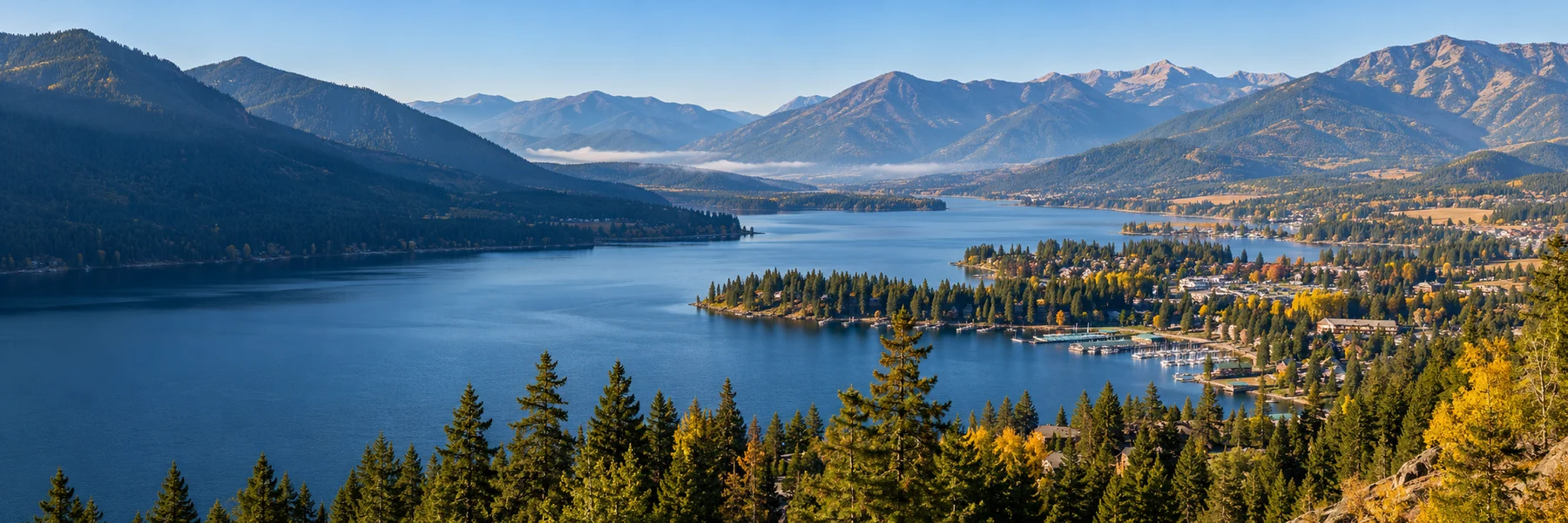
The Idaho Panhandle is narrow on the map and expansive on the ground. Its five northern counties gather broad lakes, forested mountains, river valleys and towns shaped by work as much as recreation. Coeur d'Alene, Sandpoint, Wallace and Bonners Ferry make useful starting points, but they introduce different kinds of country. Approach the region as a collection of places to linger: a shoreline close to town, a former mining corridor, a wetland trail and a lake road that keeps revealing another stretch of forest.

Inside this guide · Seven local perspectives, five curated photographs and ten places worth your time.Jump to the places

THE REGION, UP CLOSE

A landscape with more than one story.

Our regional lens: Benewah, Bonner, Boundary, Kootenai and Shoshone counties in northern Idaho.

Water gives the Panhandle much of its character, and each lake offers a different introduction. Coeur d'Alene pairs an urban waterfront with the forested trails of Tubbs Hill. At Sandpoint's City Beach, Lake Pend Oreille opens outward from a public park just a short walk from downtown. Priest Lake asks for a more deliberate journey into the Selkirks, with forested state-park units along its eastern shore. Above Sandpoint, Schweitzer supplies another perspective: a mountain landscape where winter recreation and seasonal summer trails make the lake country feel even larger.
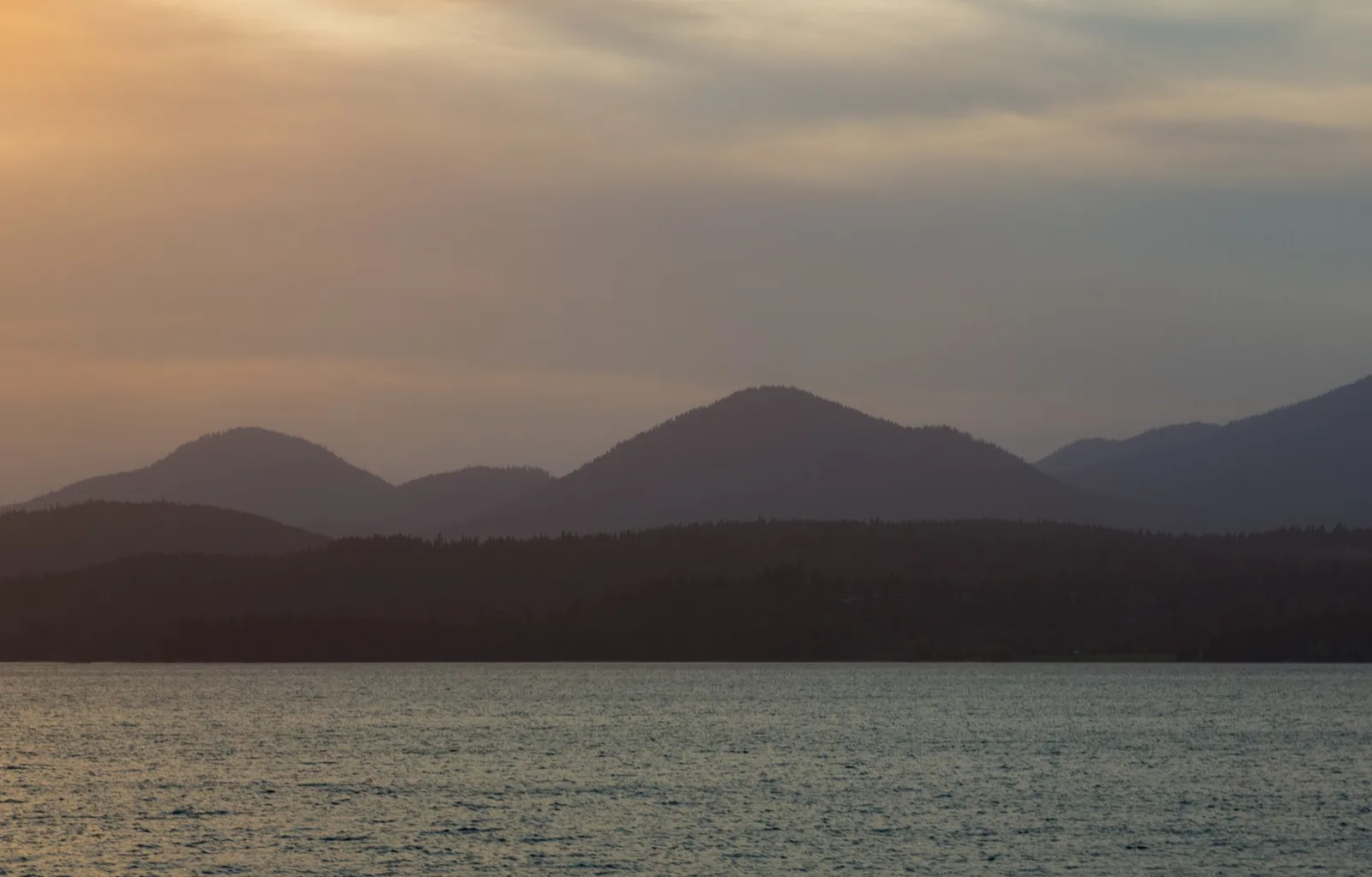
Layered mountain silhouettes rise beyond rippled water in warm sunset haze.
Evening light on the Pend Oreille River near Sandpoint, viewed from the Long Bridge.Photo: Pend Oreille Sunset - Sandpoint Idaho Lake in Summer by Tony Webster. CC BY 2.0. Resized and converted for web use.

One of the region's most surprising stories sits near the southern end of Lake Pend Oreille. Farragut State Park occupies land once used to train sailors during the Second World War, an inland naval story in an apparently unlikely setting. The Museum at the Brig preserves that chapter, while the wider park now offers trails and lake access. Combining the museum with time outdoors makes the change of use especially vivid. What first appears to be a recreation landscape turns out to carry the imprint of a vast wartime mobilization.
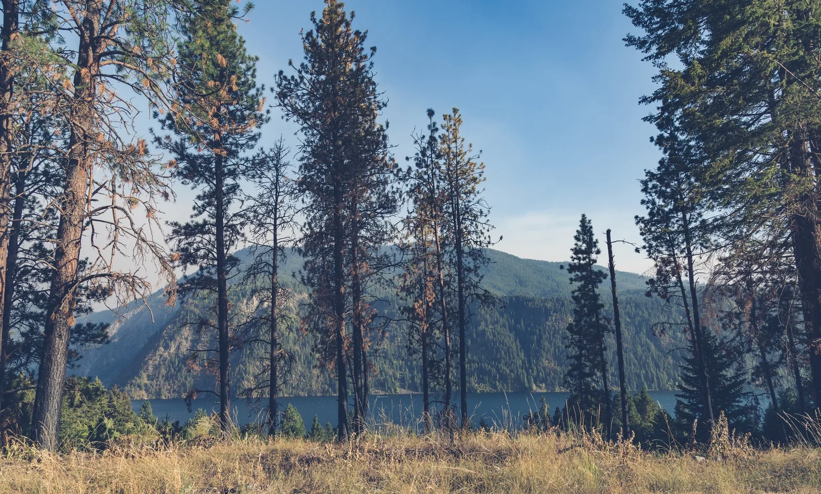
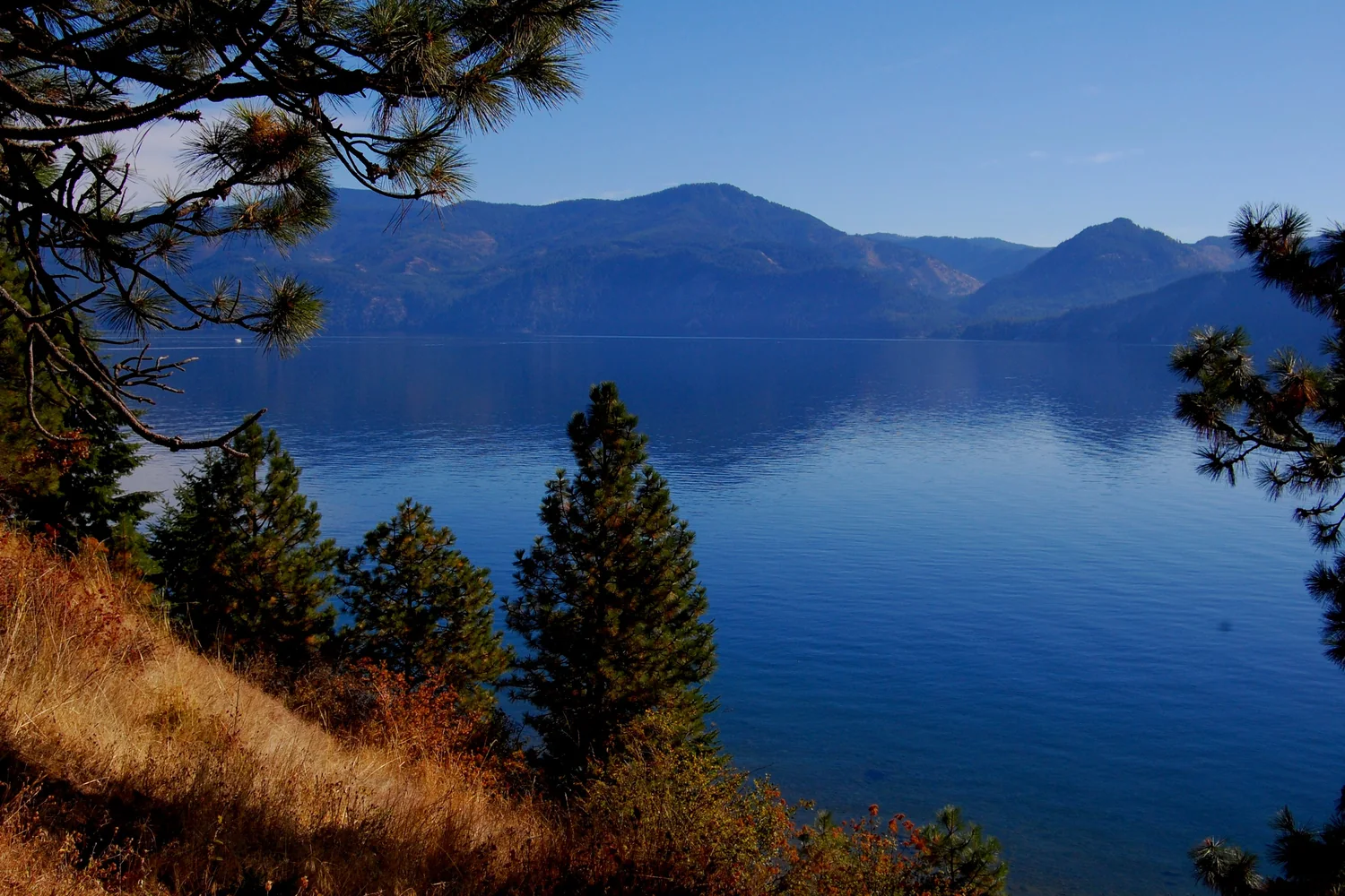
Sunlit grass and tall pine trunks frame a blue lake and forested mountain slopes.
Pines frame Lake Pend Oreille at Farragut State Park.Photo: Lake Pend Oreille at Farragut State Park in Idaho by Tony Webster. CC BY-SA 2.0. Resized and converted for web use.

At Cataldo, the Mission of the Sacred Heart introduces another complex meeting of people and ideas. Built by members of the Coeur d'Alene Tribe and Catholic missionaries, the church is Idaho's oldest standing building. Its importance extends beyond age or architecture: the visitor center's Sacred Encounters exhibition considers the relationships between tribal peoples and Jesuit missionaries. Visit with time for that interpretation as well as the building itself. The Coeur d'Alene Tribe is also a present-day partner in managing one of the region's defining recreation routes.

A black-and-white upward view of the historic mission’s columns, pediment and cross.
The columned facade of the Mission of the Sacred Heart at Cataldo.Photo: Cataldo Mission in Old Mission State Park, Cataldo, ID. by LibertyLakeAnne. CC0 1.0.

That route, the Trail of the Coeur d'Alenes, follows a former railroad between Plummer and Mullan. Its gentle paved course passes through lake and river country into the Silver Valley, linking recreation with the history of extraction. The pavement also forms part of an environmental cleanup, so staying on the designated trail and picnic areas is more than a courtesy. In Wallace, the Sierra Silver Mine Tour adds a close-up explanation of underground work. Together, trail and mine make a richer story than either scenic cycling or mining nostalgia alone.
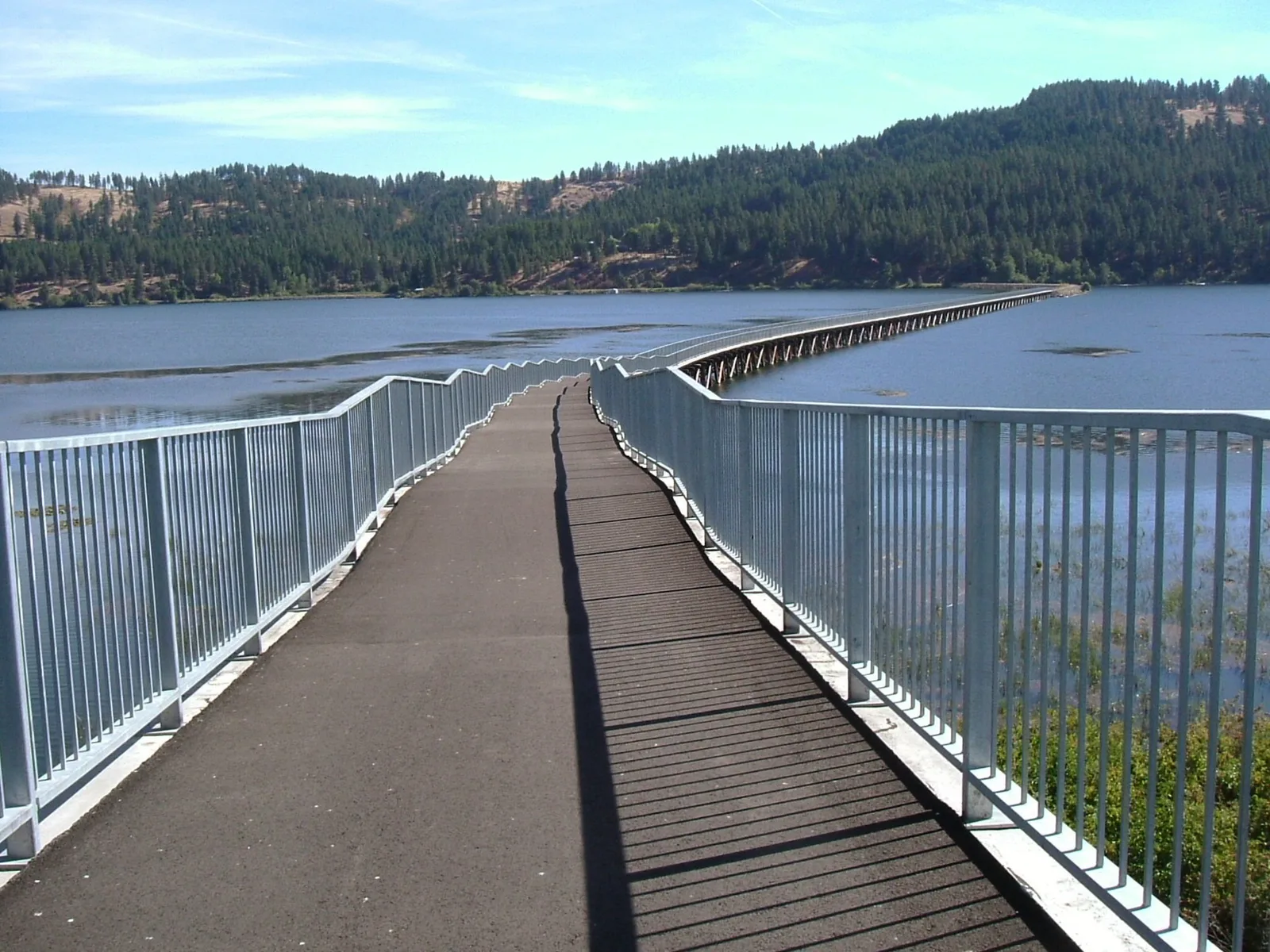
A paved path and silver railings descend over blue water toward a wooded shore.
The Trail of the Coeur d’Alenes follows a former railroad trestle across the lake.Photo: Trail of the Coeur d' Alenes by Robert Ashworth. CC BY 2.0. Resized and converted for web use.

Farther north, the Kootenai River valley rewards patience and curiosity. Bonners Ferry's Boundary County Museum collects the area's human history, while nearby Kootenai National Wildlife Refuge shifts attention to wetlands, birds and the forested valley edge. These are good places to slow the pace after mountain drives. Walk a designated trail, carry binoculars and check the refuge's route information before arriving. The view here is not simply a distant mountain backdrop: small movements in reeds, changing water and the evidence preserved by a community make the landscape feel inhabited.
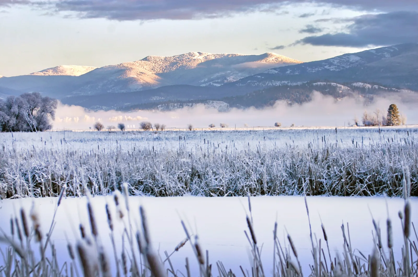
Snow-covered reeds and mist lie below forested mountains whose upper slopes catch warm sunlight.
Winter light over Kootenai National Wildlife Refuge, photographed in December 2021.Photo: Winter scenes at Kootenai National Wildlife Refuge by Sara Straub / U.S. Fish and Wildlife Service. Public domain (U.S. federal government work). Resized and converted for web use.

The best Panhandle itinerary leaves space between its headline lakes. Choose a few bases, then explore outward rather than changing beds every night to tick off the whole region. Keep a museum or interpretive stop alongside the outdoor plans, and let weather and seasonal access shape the order. What lingers is the combination: clear water beside a working town, an old railway given a new purpose, and forests that become more interesting the longer you spend looking into them.
MAKE A DAY OF IT

Ten places to explore.

Landmarks, landscapes and local institutions selected to reveal the character of Idaho Panhandle.

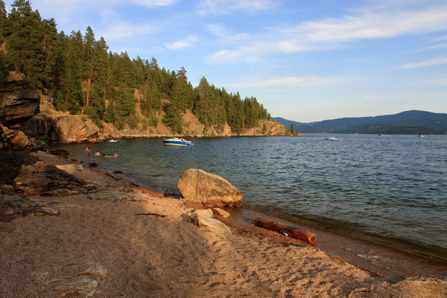
  1. A rocky beach below wooded Tubbs Hill on Lake Coeur d’Alene.
    Tubbs Hill Beach - Coeur d'Alene, Idaho by TravelingOtter · CC BY-SA 2.0 · Cropped, resized and converted for web use.
    Coeur d’Alene

    Tubbs Hill Natural Area

    Step from the downtown waterfront into a natural headland surrounded on three sides by Lake Coeur d’Alene. The perimeter interpretive trail offers changing lake views without a long drive into the mountains. Start from McEuen Park or the eastern trailhead, and expect natural trail surfaces rather than a flat promenade.

    Plan your visit
  2. Lake Pend Oreille and distant mountains seen from Farragut State Park.
    328ed by Mark F. Levisay · CC BY 2.0 · Cropped, resized and converted for web use.
    Athol and Bayview area

    Farragut State Park and Museum at the Brig

    Forest trails and Lake Pend Oreille share the grounds of a former naval training station. The seasonal Museum at the Brig explains the wartime history that makes this park distinctive. Begin at the west-entrance visitor center, then combine the naval story with a walk through the surrounding forest.

    Plan your visit
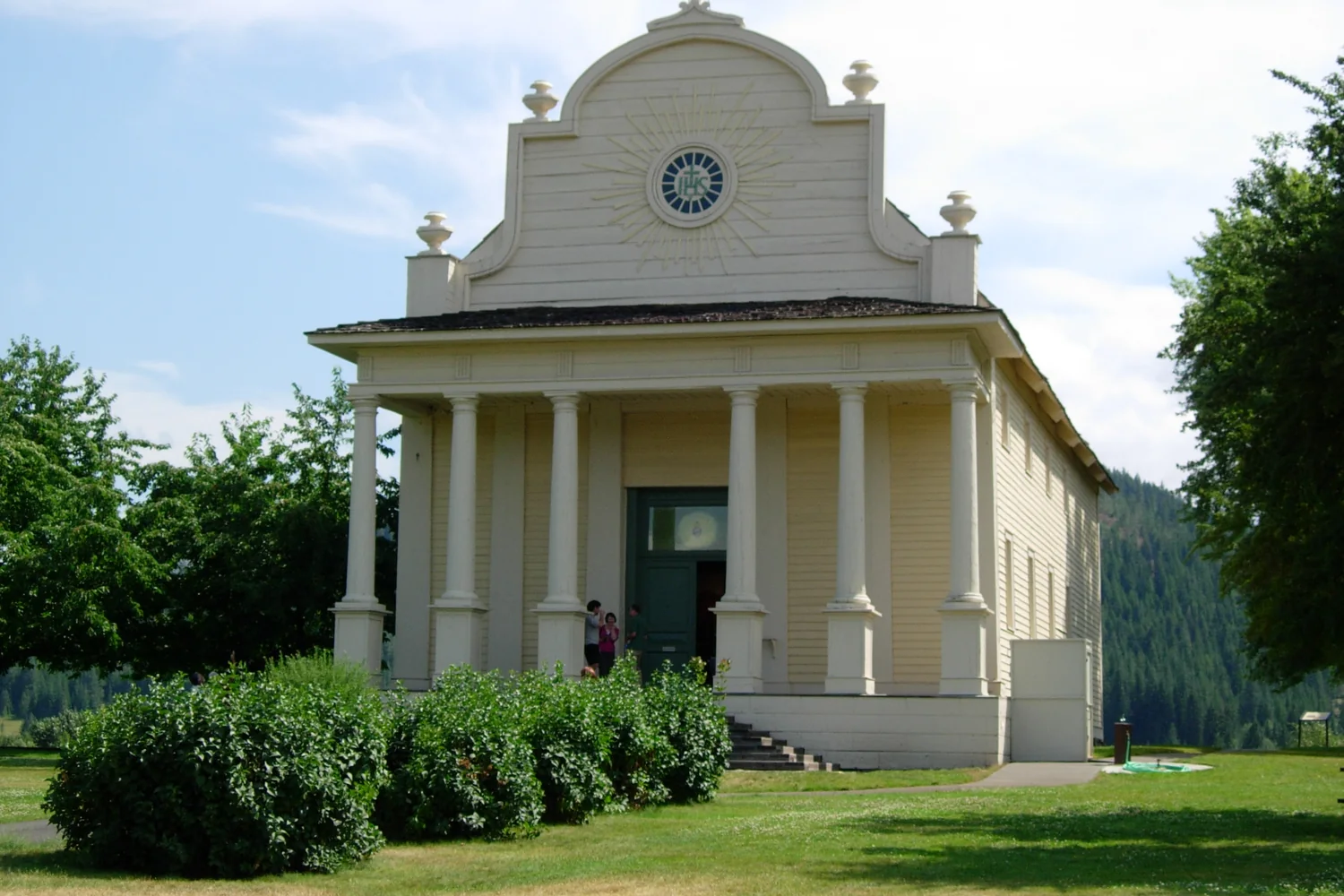
  3. The columned front of the historic Cataldo Mission church.
    Cataldo mission church by hugh millward · CC BY 2.0 · Cropped, resized and converted for web use.
    Cataldo

    Coeur d’Alene’s Old Mission State Park

    The hilltop Sacred Heart Mission is striking, but the visitor center’s Sacred Encounters exhibition gives the visit its deeper meaning. Explore the relationships between the Coeur d’Alene Tribe and Jesuit missionaries alongside the historic church and parish house. The Cataldo setting also pairs well with a ride on the nearby rail trail.

    Plan your visit
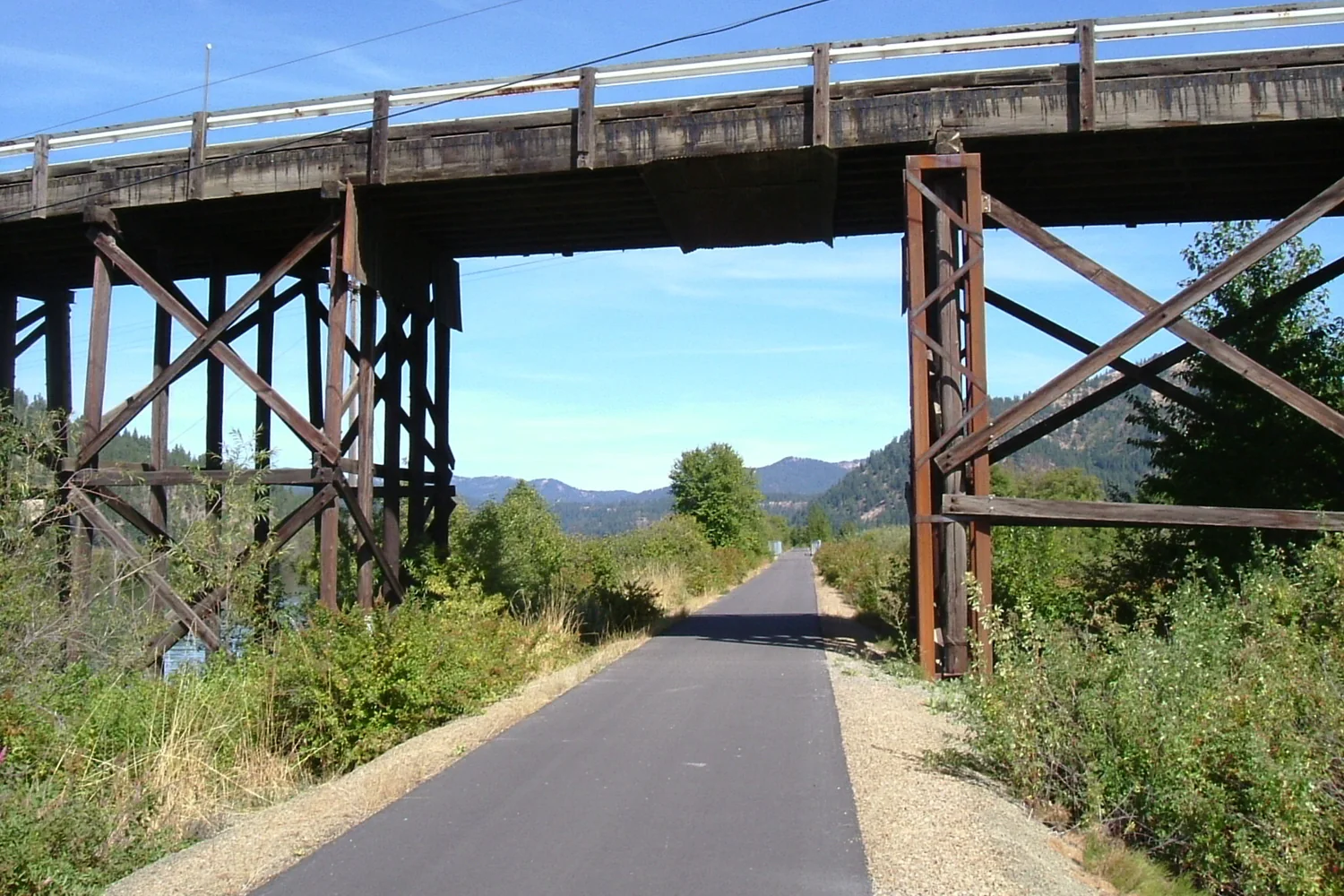
  4. The paved Trail of the Coeur d’Alenes passing below a railroad bridge.
    Trail of the Coeur d' Alenes by theslowlane · CC BY 2.0 · Cropped, resized and converted for web use.
    Plummer to Mullan

    Trail of the Coeur d’Alenes

    Choose a manageable section of this 73-mile paved former railway between Plummer and Mullan. Lake, wetland and Silver Valley stretches offer very different scenery, with trailheads providing several starting points. The corridor is also an environmental remediation project, so use the paved trail and designated stopping areas.

    Plan your visit
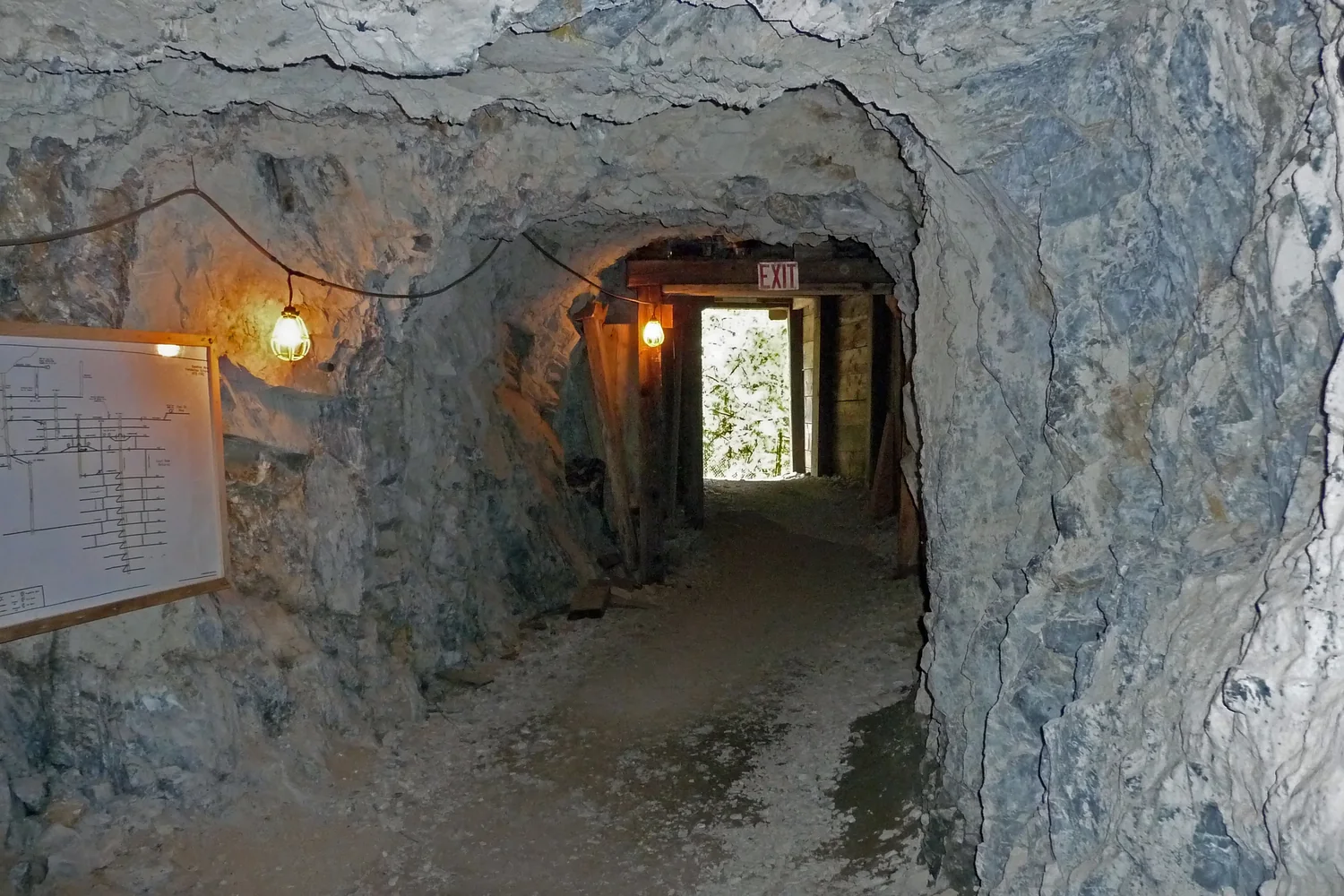
  5. A lit rock tunnel inside Sierra Silver Mine in Wallace.
    Wallace, ID9 by D Guisinger · CC BY 2.0 · Cropped, resized and converted for web use.
    Wallace

    Sierra Silver Mine Tour

    Go underground for an explanation of how mining works, adding substance to a stroll through Wallace’s historic streets. The Sierra Mine itself became a teaching site after limited commercial success, making its educational role part of the story. The seasonal guided outing brings visitors into the mine’s cool interior.

    Plan your visit
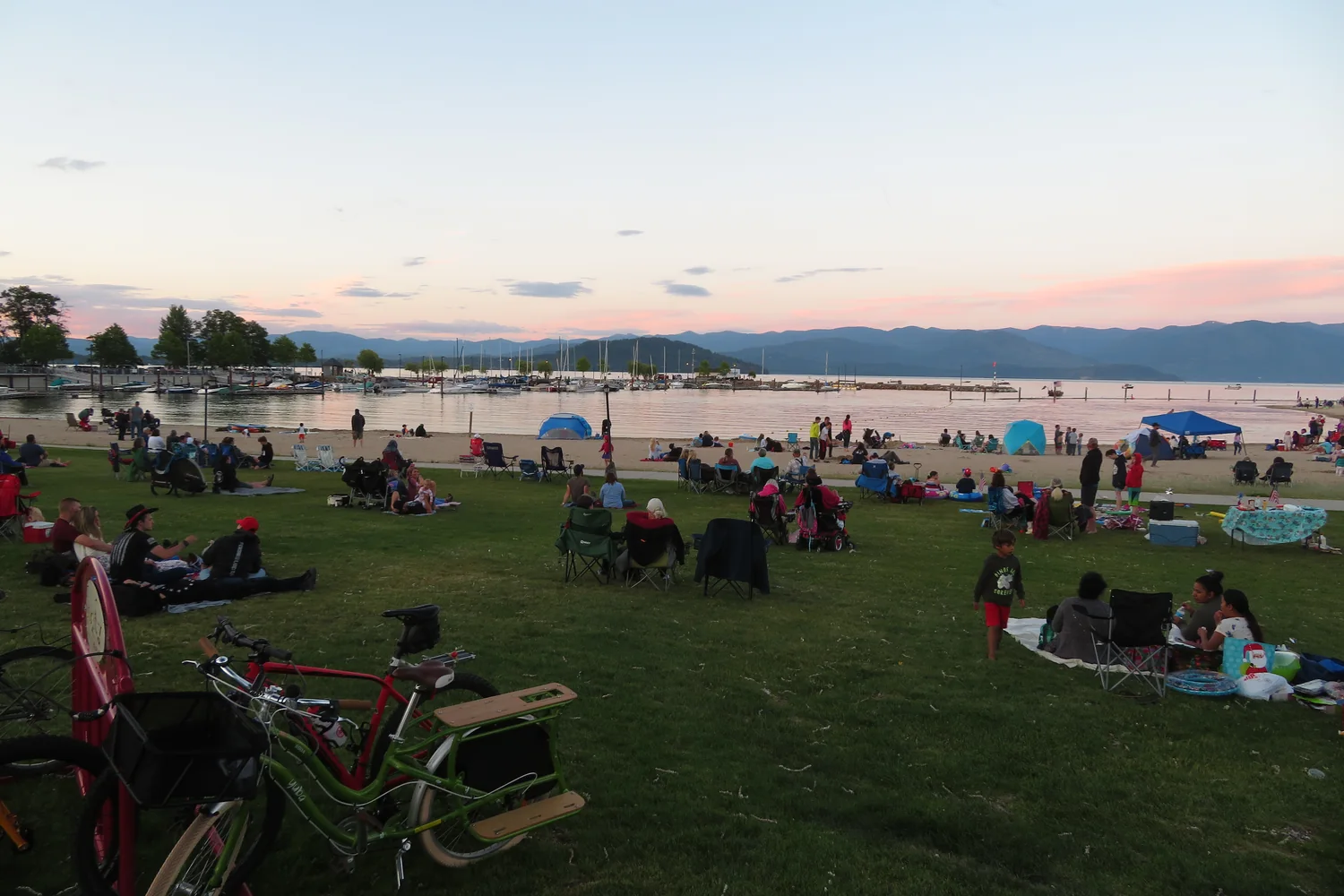
  6. Visitors gathered on the lawn at Sandpoint City Beach at dusk.
    Fourth of July Celebration, City Beach, Sandpoint, Idaho by Ken Lund · CC BY-SA 2.0 · Cropped, resized and converted for web use.
    Sandpoint

    Sandpoint City Beach

    A public shoreline, broad lawns and mountain-framed views of Lake Pend Oreille make this an easy place to settle into Sandpoint. It works equally well for a picnic, a waterfront walk or a summer beach visit. Reach it at the end of Bridge Street, close enough to pair with downtown exploring.

    Plan your visit
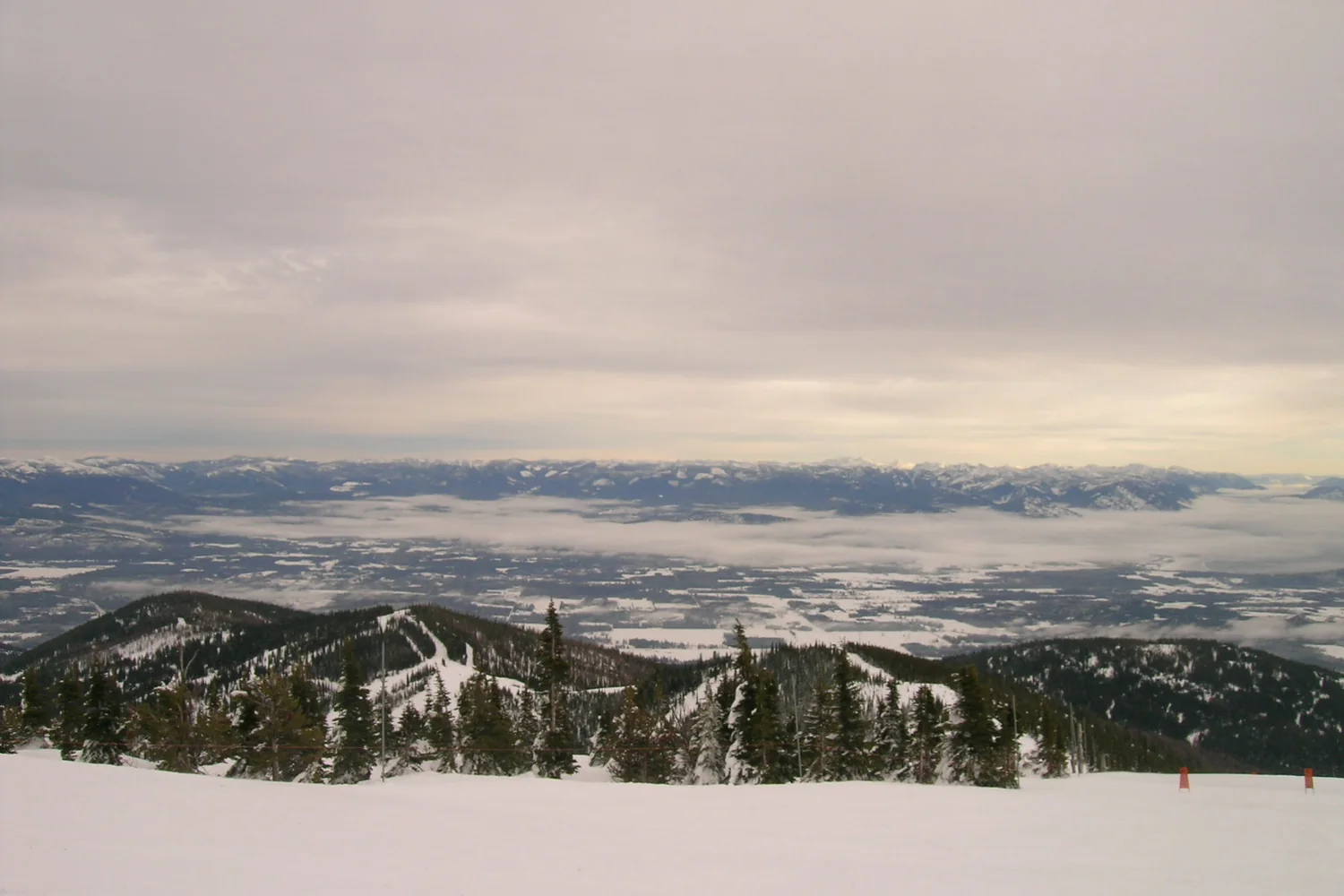
  7. Snow-covered slopes and distant valley views at Schweitzer.
    DSCN1725 by antonekom · CC BY-SA 2.0 · Cropped, resized and converted for web use.
    Above Sandpoint

    Schweitzer

    Come for a mountain-level perspective on the Panhandle, with winter skiing and seasonal warm-weather trails offering different ways into the landscape. Scenic lift access adds another summer possibility. The uphill journey from Sandpoint makes Schweitzer a natural complement to time beside Lake Pend Oreille, exchanging shoreline views for mountain panoramas.

    Plan your visit
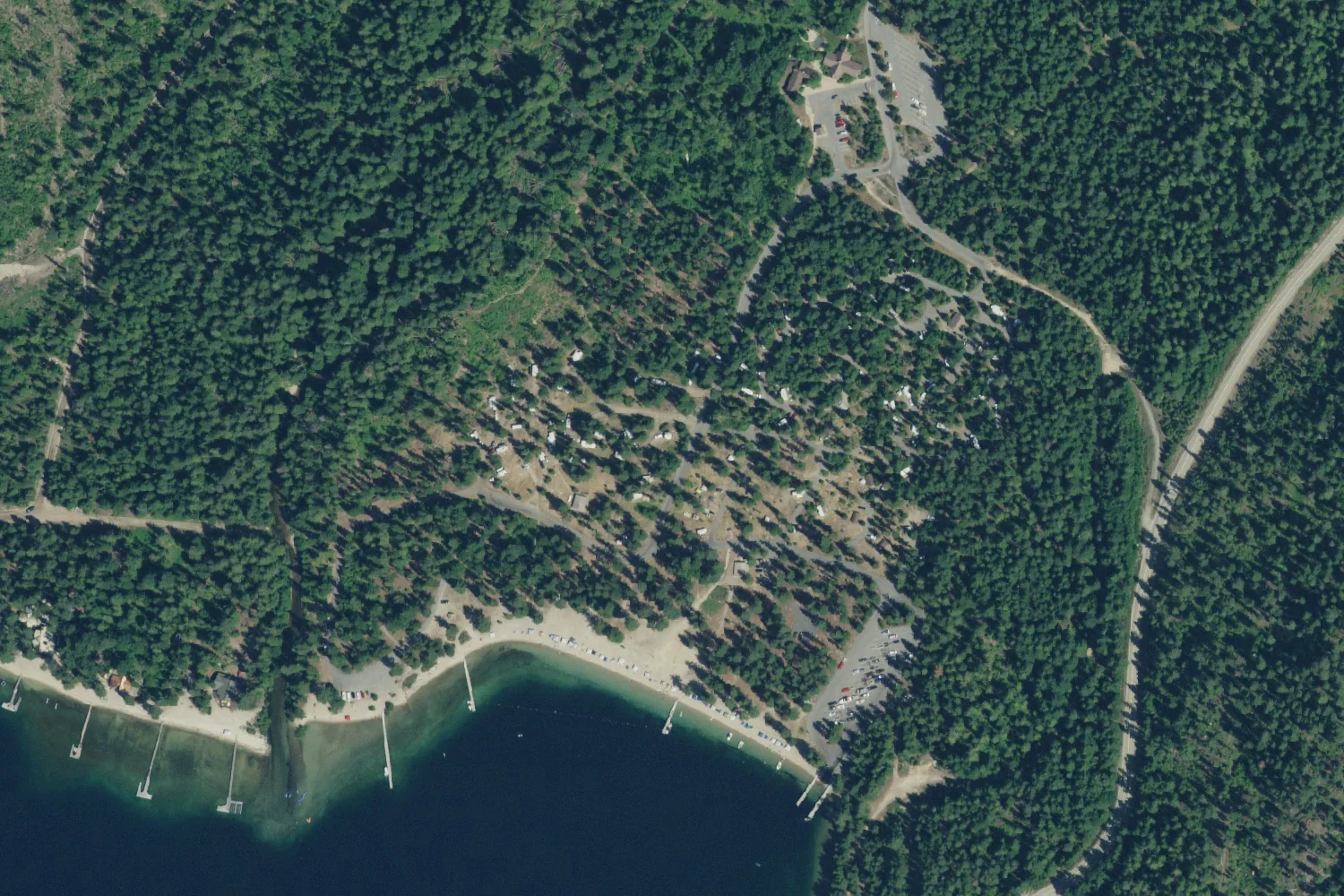
  8. Aerial view of Indian Creek campground, sandy beach and docks at Priest Lake State Park in Idaho.
    Indian Creek campground and beach, Priest Lake State Park, aerial photograph by USDA Farm Service Agency / Aerial Photography Field Office, via USGS · Public domain (USDA NAIP imagery) · Aerial photo, 2021
    Eastern shore of Priest Lake, near Coolin

    Priest Lake State Park

    Cedar, fir and tamarack forest meets clear lake water beneath the Selkirks. The park’s separated units reward choosing an access point in advance rather than navigating to the lake generically. Indian Creek is a useful introduction, with trails and a visitor center; longer lake excursions require their own planning.

    Plan your visit
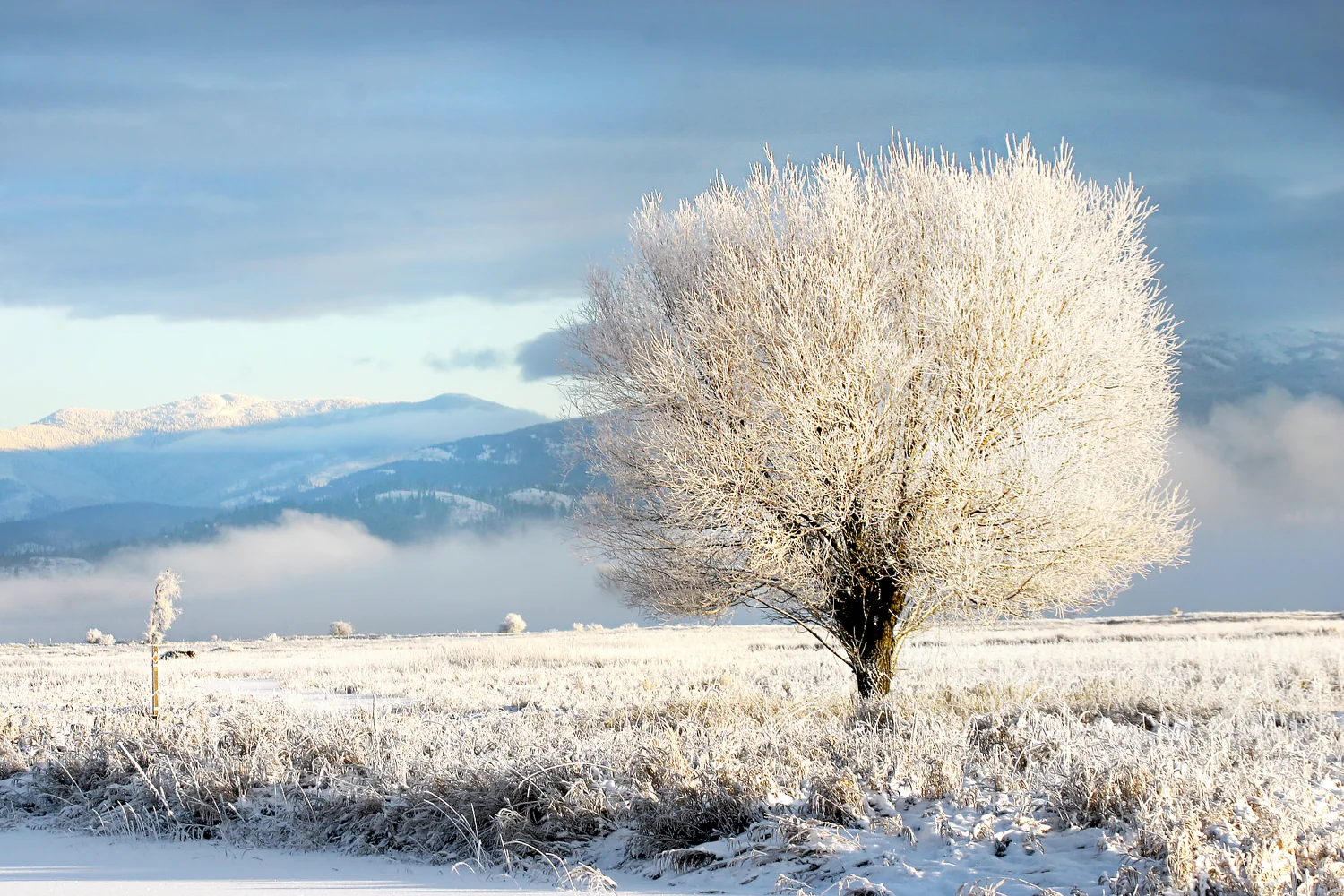
  9. A frost-covered tree in the winter landscape of Kootenai National Wildlife Refuge.
    West of Bonners Ferry

    Kootenai National Wildlife Refuge

    Wetlands and forest meet in this refuge near Bonners Ferry, where designated walking trails and an auto-tour route invite unhurried observation. Bring binoculars and spend time at the habitat edges, watching for movement among reeds and trees. Refuge headquarters provides a useful starting point for exploring the Kootenai River valley.

    Plan your visit
  10. Bonners Ferry

    Boundary County Historical Society & Museum

    Objects displayed with the Kootenai Tribe of Idaho sit alongside local portraits and a restored saloon setting, giving this museum an unusually personal view of the county. Its Main Street location in Bonners Ferry makes it easy to pair with a town walk and an outing into the surrounding river valley.

    Plan your visit

PUTTING DOWN ROOTS?

Local help for the practical side of life.

Whether you are visiting, newly arrived or caring for a longtime home, the Right Round Idaho Panhandle service directories make useful local options easier to find.

Explore local services